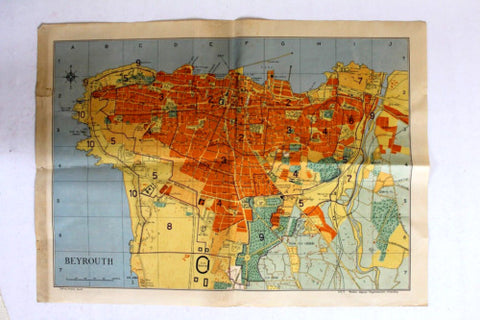
- Title: Beyrouth
- Map: Shows city limit, residential districts, seaport facilities, important buildings, gardens, roads, water features, and public places.
- Year: 1950s?
- Language: French
- Printed in Beirut
- Published by: Catholique Imp.
- Pages: Fold-out.
- Size: 58x42cm = 23x16 1/2 inch unfolded.
- Condition: Good/Very Good. Small tears and toning at the left edge. Rusted clip residue at edge.
